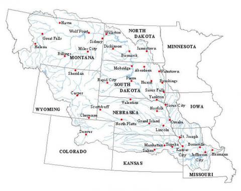
The Missouri River is arguably the longest river in North America, traversing an amazing variety of landscapes on its journey to the sea. This mighty river flows more than 2,300 miles from Three Forks, Montana, to St. Louis, where it joins the Mississippi River. These waters continue on for another 1,500 miles to the Gulf of Mexico, making the Missouri/Mississippi River complex the fourth longest river and the third largest drainage basin in the world.
Nicknamed the "Big Muddy," the Missouri River has long been one of America's most important natural resources. Every bend in the river is saturated in history. Her waters have offered a spiritual centerpiece for many American Indian tribes and have nurtured an astonishing amount of wildlife. The river served as the path for the Lewis and Clark expedition, later evolving to become the primary pathway for our country's western expansion. She has witnessed the rise and fall of the steamboat era and given birth to countless communities that settled near her banks.